BETHLEHEM, Pa. — The Lehigh Valley will see its first near-freezing temperatures of the season Thursday night, prompting a freeze watch from the National Weather Service.
The watch is in effect from 10 p.m. Thursday to 9 a.m. Friday, with forecasters warning that frost and freeze conditions could kill crops, damage outdoor plumbing, and harm sensitive vegetation.
According to the National Weather Service in Mount Holly, New Jersey, widespread frost is likely across the region, with overnight lows expected to dip to around 34 degrees on Thursday. The last time temperatures fell that low in the Lehigh Valley was in April.

Neighboring Monroe and Carbon counties are also under the watch.
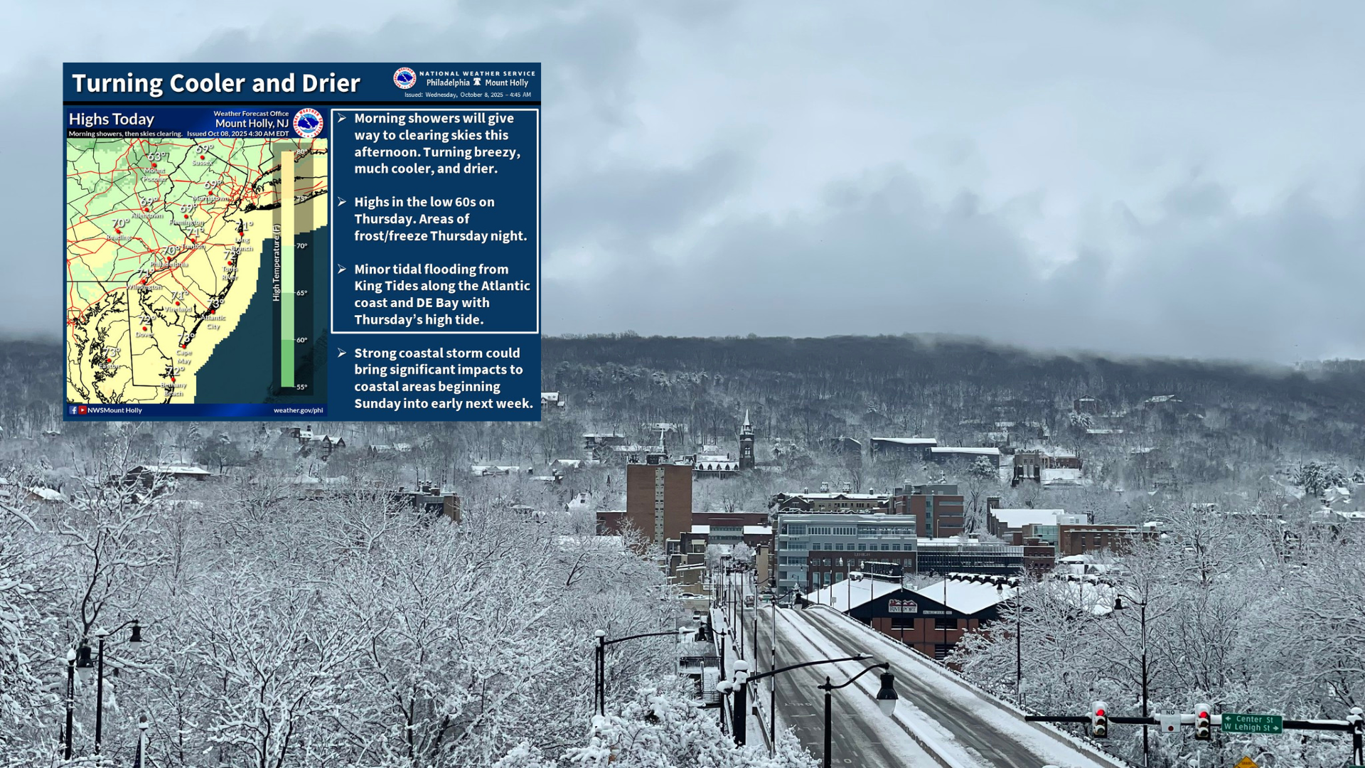
A cold front moving through the region will bring cooler, drier air, keeping daytime highs in the 60s through the weekend. Meteorologists said Wednesday that a potential coastal storm could affect the area Sunday.
“Showers this morning will give way to clearing skies, breezy, cooler and drier conditions during the afternoon and into tonight,” the Mount Holly office said in its Wednesday social media post. “Lows tonight will be mainly in the 40s — upper 30s in higher elevations north, and near 50 along the coast.”
Forecasters said any rain from the possible coastal system would most likely arrive Sunday afternoon.