
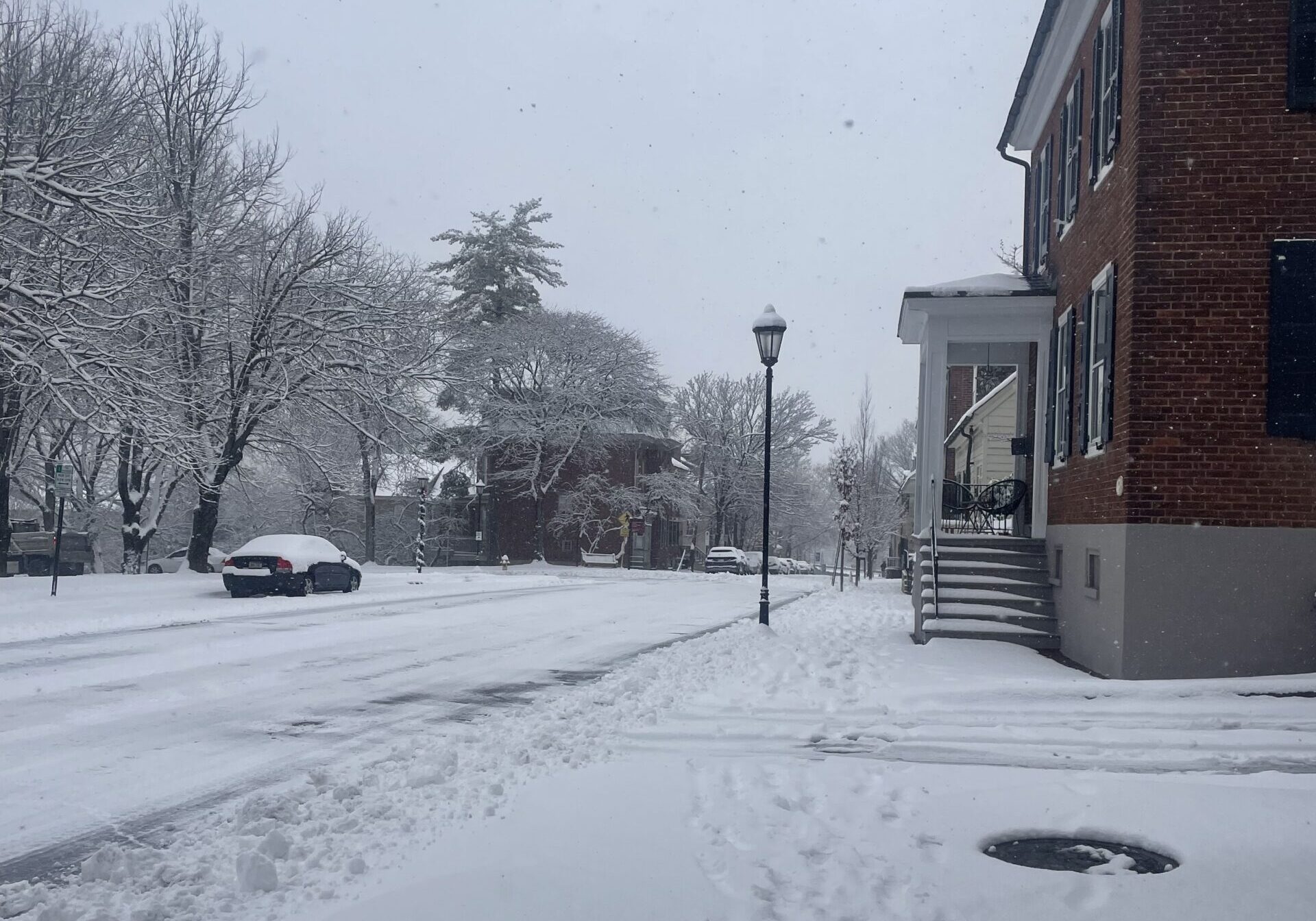
LEHIGH VALLEY, Pa. — The Lehigh Valley could see anywhere from 8 to 21 inches of snow this weekend as forecasters grow increasingly confident that the region is facing its largest snowstorm in years, according to the National Weather Service.
The area will be under a winter storm watch from 1 a.m. Sunday through 1 p.m. Monday, the weather service said Thursday morning. Heavy snow and significant accumulations are likely, with hazardous conditions expected to affect travel, including the Monday morning commute.
Neighboring Berks, Bucks, Carbon and Monroe counties are also included in the watch.
In a Thursday weather briefing, forecasters said confidence continues to rise that a “major winter storm” will move into the region late Saturday night and persist through Monday afternoon.
In addition to heavy snowfall, blowing and drifting snow could significantly reduce visibility, creating dangerous travel conditions. Widespread travel disruptions are increasingly likely.
The National Weather Service released several forecast models showing a wide range of possible snowfall outcomes. The lowest-end scenario shows about 8 inches of snow in the Allentown area, while the highest-end scenario projects up to 21 inches. Each extreme currently carries a 1-in-10 chance of occurring.
Forecasters said there is now a 97% chance of at least 6 inches of snow across the region and a 76% chance of a foot of snow or more. There is also a chance the snow could mix with sleet in some areas, depending on the storm’s track, further worsening road conditions.
The region hasn’t seen a storm of this potential magnitude since February 2021, when a nor’easter dumped more than 2 feet of snow on the Lehigh Valley, according to weather service data.
Forecasters cautioned that precise snowfall totals will not be known until closer to the weekend, but urged residents to prepare now, given the increasing certainty of a high-impact event.
Mayor Matt Tuerk announced the declaration of Snow Emergency which will begin Saturday at 11 a.m. allowing crews to prepare local roadways for the snow.
“We want to make sure that we’re giving our folks ample time to set the stage for a successful cleanup operation,” Tuerk said. “We will make sure our residents can successfully navigate and clean up from this storm as soon as possible.”
Allentown police urged community members not to park on any snow emergency routes.
Compounding the storm’s impacts will be a dangerous stretch of bitterly cold weather expected to follow. From Saturday through at least the following Thursday, overnight lows are forecast to remain in the single digits on most days. With wind chills, temperatures could feel below zero, raising concerns about frostbite, hypothermia and prolonged icy conditions.
Ahead of the storm, Thursday is expected to remain clear with a high near 41 degrees, before temperatures steadily drop heading into the weekend.
The National Weather Service advised residents to closely monitor updated forecasts, finalize travel plans early, and prepare for potentially prolonged disruptions as the region braces for what could be a historic winter storm.